Optimise plantation operations with GIS-Powered insights
- Improve operational efficiency by streamlining workflows and cutting costs.
- Optimize land to boost productivity and support more sustainable, deforestation-free practices.
- Ensure accountability by tracking and verifying all field activities accurately.
- Leverage accuracy in field monitoring to anticipate plant health issues and respond faster to pests and diseases.

Make smarter business moves with ArcGIS
ArcGIS is a smart mapping tool that helps plantation owners see everything happening on their land in one place. With ArcGIS, you can monitor crop health, manage land and workers more efficiently, plan harvests, and even spot problems early—like pests or poor soil—so you can act fast and save costs.
BP Bioenergy, a major sugarcane plantation operator in Brazil, uses GIS technology to boost efficiency across its large-scale farming operations. By leveraging real-time location data, the company optimizes harvesting, improves safety, and ensures accountability, and has seen measurable improvements in how sugarcane is grown and managed.
BP Bioenergy, one of Brazil’s largest bioenergy producers saw measurable improvements

Boosted efficiency
Able to monitor third-party contractors and optimized machinery use
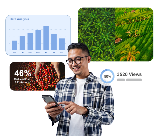
Reduced fuel & emissions
Streamlined operations to minimize environmental impact
Saved time & resources
Harvested more with fewer machines and workers
Improved accountability
Tracked field activities with GPS-enabled tractors and equipment
Better emergency response
Faster logistics planning during unexpected situations
Full integration across teams
Connected 23 existing applications to centralize data and streamline decisions
Make insights with advanced imagery analysis using GeoAI in ArcGIS
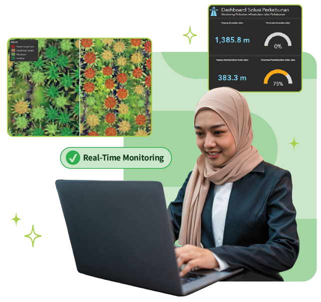
ArcGIS empowers plantation management through the integration of high-resolution satellite imagery, NDVI vegetation health analysis, and GeoAI models without needing to be on-site.
Unlock how this technology can:
- Detect crop stress with vegetation health indicators
- Track harvests and land changes by the season
- Automatically detect trees and analyze gaps for replanting
- Manage land in 2D and 3D
- View historical trends instantly
Watch how imagery transforms plantation operations
Whether you manage thousands of hectares or are planning new planting zones, ArcGIS helps you make smarter, faster decisions.

Power Up with the Plantation User Community
Our exclusive, invite-only Plantation User Community gathers monthly for offline discussions, tech updates, and solution deep dives
Why Join?
- Gain real-world insights from fellow plantation professionals
- Direct access to Esri’s geospatial experts
- Discover how peers are achieving digital transformation through GIS
See it In action: success stories from plantation leaders
See how Wilmar uses ArcGIS GeoAI to boost efficiency and sustainability
Wilmar leverages a real-time deforestation dashboard powered by machine learning to detect land-use changes automatically—no manual work needed. They also use deep learning models to identify and map oil palm areas nearing harvest, helping them plan more efficiently and maximize productivity.
Power up with the plantation user community
Our exclusive, invite-only Plantation User Community gathers monthly for offline discussions, tech updates, and solution deep dives
Why Join?
- Gain real-world insights from fellow plantation professionals
- Direct access to Esri’s geospatial experts
- Discover how peers are achieving digital transformation through GIS

Let’s Talk About Your Plantation Goals
Our experts are ready to help you identify opportunities and demonstrate how GIS can elevate your plantation operations
